Google Maps Integration
Use Google Maps Integration when TMS should calculate coordinates, show routes, or calculate distance and duration from map locations.
Before you start
Make sure that:
- your company has a Google Maps Platform account,
- billing and the required Google APIs are enabled,
- an API key is created and restricted according to your security policy,
- users have permission to maintain TMS Setup and map locations.
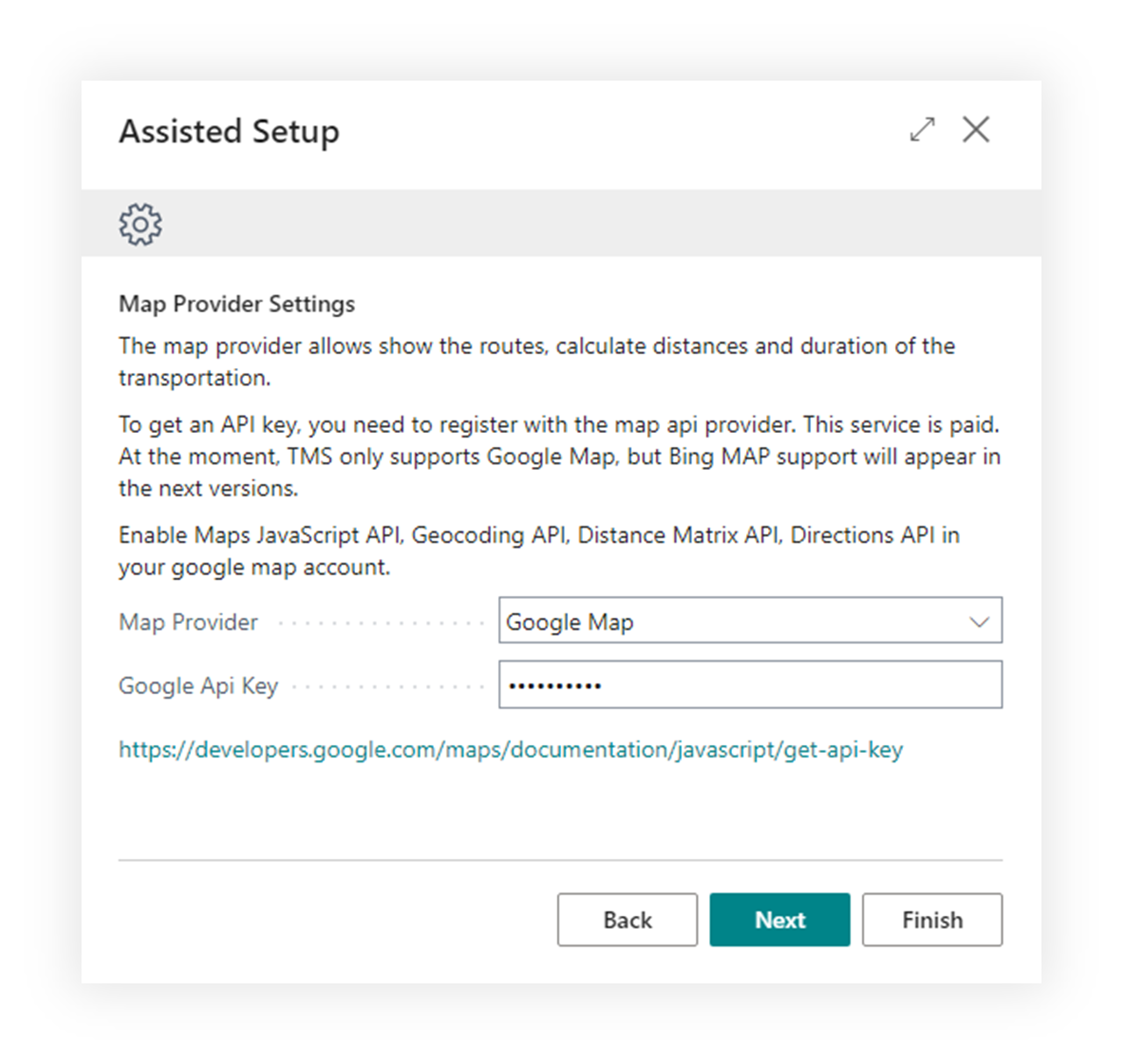
How to configure Google Maps
- Create or open the Google Maps Platform project.
- Enable the APIs required by your TMS process.
- Create an API key.
- Restrict the key according to your company policy.
- Open TMS Setup.
- Select Google Maps as the map provider.
- Paste the API key.
- Test geocoding on a Map Location.
- Test route or distance calculation on a Forwarding Order or Freight Order.
What Google Maps supports
| Capability | Use it for |
|---|---|
| Geocoding | Convert address details into coordinates. |
| Map display | Show a location or route on a map. |
| Distance and duration | Estimate route distance and travel time. |
| Position correction | Update coordinates when an address was matched incorrectly. |
Good to know
- Google usage can create costs in your Google account.
- Restrict API keys. Do not share unrestricted keys with users or external systems.
- Address quality matters. Clean city, country, postal code, and street data gives better results.
Troubleshooting
| Problem | What to check |
|---|---|
| Geocoding fails | Check API key, enabled APIs, billing, and address quality. |
| Route is not shown | Check coordinates on all required map locations. |
| Distance is empty | Confirm map provider setup and that the document has valid origin and destination locations. |
| Google returns a permission error | Review API restrictions and enabled APIs in Google Cloud. |